Log in
All resources
Create a design
175 Free Artworks of Maps Of The British Isles
maps from the earth and its inhabitants, vol. iv
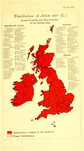
1870s maps of the british isles
paper
british museum
copper engraving print
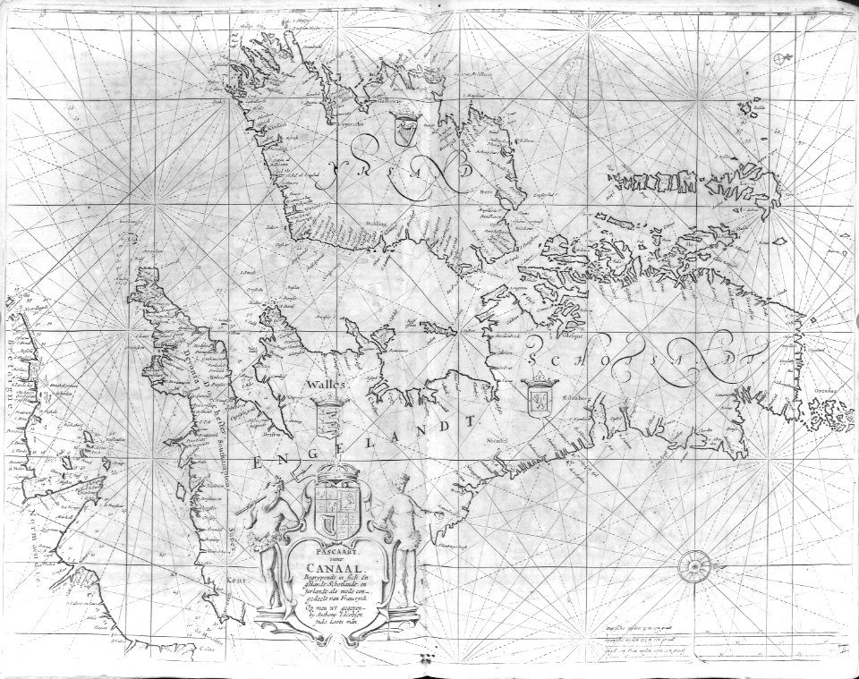
atlas maior, vol 5 (england) - joan blaeu, 1667 - bl 114.h(star).5
british library
joan blaeu
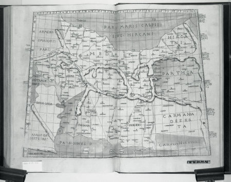
17th-century maps of the british isles
19th-century maps of the british isles
maps from the earth and its inhabitants, vol. iv
eye peninsula
maps from the earth and its inhabitants, vol. iv
maps from the earth and its inhabitants, vol. iv
maps from the earth and its inhabitants, vol. iv
maps from the earth and its inhabitants, vol. iv
maps from the earth and its inhabitants, vol. iv
maps from the earth and its inhabitants, vol. iv
maps from the earth and its inhabitants, vol. iv
maps from the earth and its inhabitants, vol. iv
maps from the earth and its inhabitants, vol. iv
maps from the earth and its inhabitants, vol. iv
maps from the earth and its inhabitants, vol. iv
maps from the earth and its inhabitants, vol. iv
maps from the earth and its inhabitants, vol. iv
maps from the earth and its inhabitants, vol. iv
maps from the earth and its inhabitants, vol. iv
maps from the earth and its inhabitants, vol. iv
maps from the earth and its inhabitants, vol. iv
maps from the earth and its inhabitants, vol. iv
maps from the earth and its inhabitants, vol. iv
maps from the earth and its inhabitants, vol. iv
maps from the earth and its inhabitants, vol. iv
maps from the earth and its inhabitants, vol. iv
maps from the earth and its inhabitants, vol. iv
atlas maior, vol 5 (england) - joan blaeu, 1667 - bl 114.h(star).5
17th-century maps of the isle of wight
atlas maior, vol 5 (england) - joan blaeu, 1667 - bl 114.h(star).5
17th-century maps of the isle of man
atlas maior, vol 5 (england) - joan blaeu, 1667 - bl 114.h(star).5
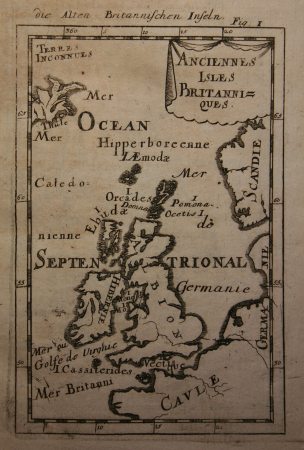
17th-century maps of the british isles
expeditionis hispanorum in angliam vera descriptio anno domini mdlxxxviii
paper
19th-century maps of the british isles
arnold's geographical handbook (1899)
maps from the earth and its inhabitants, vol. iv
ecclesiastical maps
tresor des cartes geographiques (1659)
17th-century maps of the british isles
atlas van der hagen (volume 2)
atlas van der hagen
great britain
slug
maps from the earth and its inhabitants, vol. iv
linguistic maps of the united kingdom
maps of weather and climate of the united kingdom
maps from the earth and its inhabitants, vol. iv
maps in the british museum
taddeo crivelli
maps from the earth and its inhabitants, vol. iv
geological maps of the united kingdom
maps from the earth and its inhabitants, vol. iv
topographic maps of ireland
maps from the earth and its inhabitants, vol. iv
topographic maps of the united kingdom
maps from the earth and its inhabitants, vol. iv
illiteracy in the united kingdom
1794 rocque wall map of ireland
county clare
maps from the earth and its inhabitants, vol. iv
drainage basin maps of the united kingdom
maps from the earth and its inhabitants, vol. iv
maps of tides
maps from the earth and its inhabitants, vol. iv
precipitation maps
maps of the british isles by gerardus mercator
ateliers bmb mercator
description de l'universe
alain manesson mallet
maps from the earth and its inhabitants, vol. iv
maps of portland, england
maps from the earth and its inhabitants, vol. iv
maps of the british isles
maps from the earth and its inhabitants, vol. iv
1870s maps of the british isles
maps from the earth and its inhabitants, vol. iv
maps of the british isles
maps from the earth and its inhabitants, vol. iv
1870s maps of the british isles
maps from the earth and its inhabitants, vol. iv
maps of the british isles
maps from the earth and its inhabitants, vol. iv
maps of the british isles
maps from the earth and its inhabitants, vol. iv
1870s maps of the british isles
19th-century maps of the british isles
19th-century maps of the north sea
atlas sive cosmographicae (gerardus mercator, 1623)
maps of the british isles by gerardus mercator
maps from the earth and its inhabitants, vol. iv
old maps of the isle of arran
the atlantic islands as resorts of health and pleasure (1878)
isles of shoals
atlas sive cosmographicae (gerardus mercator, 1630)
maps of the british isles by gerardus mercator
description de l'universe
alain manesson mallet
maps from the earth and its inhabitants, vol. iv
isle of thanet
the atlantic islands as resorts of health and pleasure (1878)
19th-century maps of the isle of wight
russo-turkish war (1877–1878) in art
great eastern crisis (1875–78)
maps from the earth and its inhabitants, vol. iv
19th-century maps of the isle of man
maps from the earth and its inhabitants, vol. iv
old maps of the isle of arran
maps from the earth and its inhabitants, vol. iv
1880s maps of the british isles
maps from the earth and its inhabitants, vol. iv
1880s maps of the british isles
maps from the earth and its inhabitants, vol. iv
19th-century maps of the isle of wight
cartography
maps
maps by thomas kitchin
old maps of hampshire
yachts and yachting - with over one hundred and ten illustrations (1887)
19th-century maps of the british isles
seymour dorothy fleming
maurice george bisset
seymour dorothy fleming
maurice george bisset
prints by william dent in the british museum
satirical prints in the british museum
carte des côtes de malabar et de coromandel (1723)
philippe buache
101 - 175 of 175
/ 2


![Treasure of geographical maps of the main states of the universe [...], 1659](https://cdn.creazilla.com/illustrations/10001373480/treasure-of-geographical-maps-of-the-main-states-of-the-universe-1659-md.jpg)